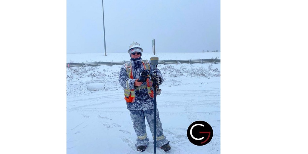
What Is Land Surveying?
Surveying involves measuring distances between two points with measuring instruments such as steel tape measures, chains, levels, plumb bobs, and optical instruments like transits and levels.
Surveying land is an essential part of any real estate project. A surveyor must be able to read maps, charts, and graphs in order to identify the location of boundaries and property lines, as well as determine what type of terrain a plot of land is located on.
Types Of Surveying Services
1. Land surveying: Land surveyors work with the client to determine the appropriate land use for the property based on their needs. They also help with creating building plans and site designs including grading, drainage, and utilities. They look after building permits and environmental impact reports.
2. Real estate property services: Residential Property Reports (RPR) is an in-depth report that utilizes images and measurements of a home to provide the client with a detailed view of a property. These services help in identifying the potential of a property in terms of use and value.
Residential Property Reports (RPR) is about using residential establishments’ images and measurements to come up with a detailed property view. These reports help you to make a wise decision from the investment point of view.
3. Construction survey: A construction survey demands a closer analysis of sites for effective construction processes and results. It is the process of measuring, mapping, and analyzing the various aspects of a construction site. It helps to determine how much material should be used, where it should be placed, and how much time will be required to complete the project.
4. Infrastructure and transportation survey: Infrastructure and transportation survey includes comprehensive mapping and surveying operations. It helps you to know everything about your current infrastructure and transportation situation, including what areas need updating or repair, where you can improve efficiency by making changes, and more.
5. Surveying Pipeline: Surveying pipelines in an efficient manner requires the input of experts. Surveyors use both new and old technology to do their work and have access to different types of equipment to complete every task. They need to be able to use these tools correctly so they can make sure they are getting accurate readings from their surveys.
About Core Geomatics
Core Geomatics is a top Land Surveyors in Calgary. It has been known in the sector for offering services like customized land assessments, subdivision surveying, land use analysis, 3D laser scanning, etc.
In Real Estate, the key aspects of its services include identifying the property boundaries, coming up with solutions for potential issues, diagnosing probable encroachment situations, measurements, helping with mortgage financing applications, etc. It also offers control surveys, building foundations, and gridlines, settlement monitoring, etc.
Further, it caters to municipal, federal, and provincial sector clients along with private clients. Their services include road legal plans, curb and gutter staking, control surveys, 3D scanning, etc.
If you hire Core Geomatics, you are sure to receive high-quality surveying pipeline services for all your needs. They have been serving a huge base of clientele from all over the world. They are quoted as one of the most reliable Land Surveyors in Calgary. Get in touch with them today and get a quote.
For more information about Alberta Geomatics Surveying Services and Calgary Real Property Reports Please visit : CORE Geomatics.

